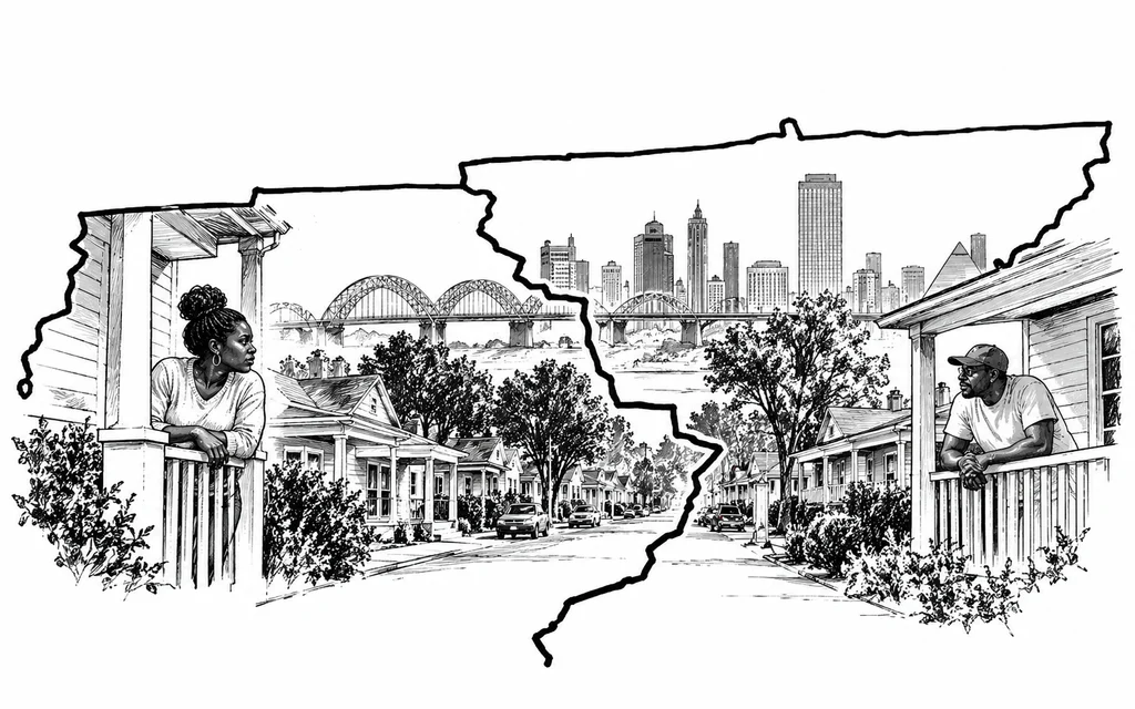
New congressional lines split the state’s largest Black population across three districts, changing who represents Memphis and how much influence the city carries in Washington.
A street in Memphis now doubles as a congressional boundary. Reuters journalists Bianca Flowers, David Hood-Nuño and Ally J. Levine reported Saturday that Tammy Jo O’Neal and neighbors directly across from her home have been placed in different congressional districts under Tennessee’s new map, even though they share the same neighborhood and many of the same local concerns.
The division is part of a much broader restructuring of political representation in Tennessee. Memphis previously sat almost entirely within one congressional district, and the former 9th District drew 78% of its population from the city, making it Tennessee’s only majority-Black congressional district. The legislature’s 2026 map divides Memphis into three districts and combines portions of the city with suburban and rural communities extending far across the state. Memphis itself is roughly 63% Black, according to Census data cited by Reuters.
Redistricting changes political power by changing the group of voters a representative must satisfy. A member of Congress representing a compact urban district has a different electoral incentive than one representing pieces of Memphis alongside communities hundreds of miles away. Transportation, neighborhood investment, poverty, housing and public services can compete against priorities coming from populations with different economies and different relationships to government.
Tennessee already used a similar strategy in Nashville. Reuters noted that lawmakers split a city that had voted overwhelmingly Democratic for roughly 70 years into three districts where Republicans could compete more easily. Memphis is now experiencing a comparable redistribution of political influence, but with an added racial dimension because the city contains the state’s largest concentration of Black residents.
The legal restraints on that process have also weakened. For decades, the Voting Rights Act gave communities of color stronger tools to challenge maps that diluted their electoral influence. The Supreme Court’s 2013 decision in Shelby County v. Holder eliminated the federal preclearance requirement that had forced certain jurisdictions with histories of discrimination to receive approval before changing election rules. An April 2026 ruling further narrowed the circumstances under which voters can challenge maps under the Voting Rights Act.
Republican lawmakers have argued that the Tennessee map reflects partisan strategy rather than racial discrimination. The practical effect, however, can be measured regardless of the stated motive: urban voters who once formed the central constituency of a congressional district now make up smaller portions of districts containing voters elsewhere. Political power moves when a community’s votes are divided, because the community becomes less able to determine who represents it.
That has consequences between elections as well. Congressional offices influence federal grant advocacy, constituent services and which local concerns repeatedly reach Washington. When Memphis is split among lawmakers whose electoral bases extend far beyond the city, those representatives have less political reason to organize their agendas around Memphis alone.
The next stage of the redistricting fight will therefore be visible outside the ballot box. If maps like Tennessee’s survive legal challenges and become easier for other states to reproduce, cities with concentrated Black voting power can lose influence without losing population. The residents remain where they were. The boundaries simply change how much their collective vote can command.